
Marathahalli, the map
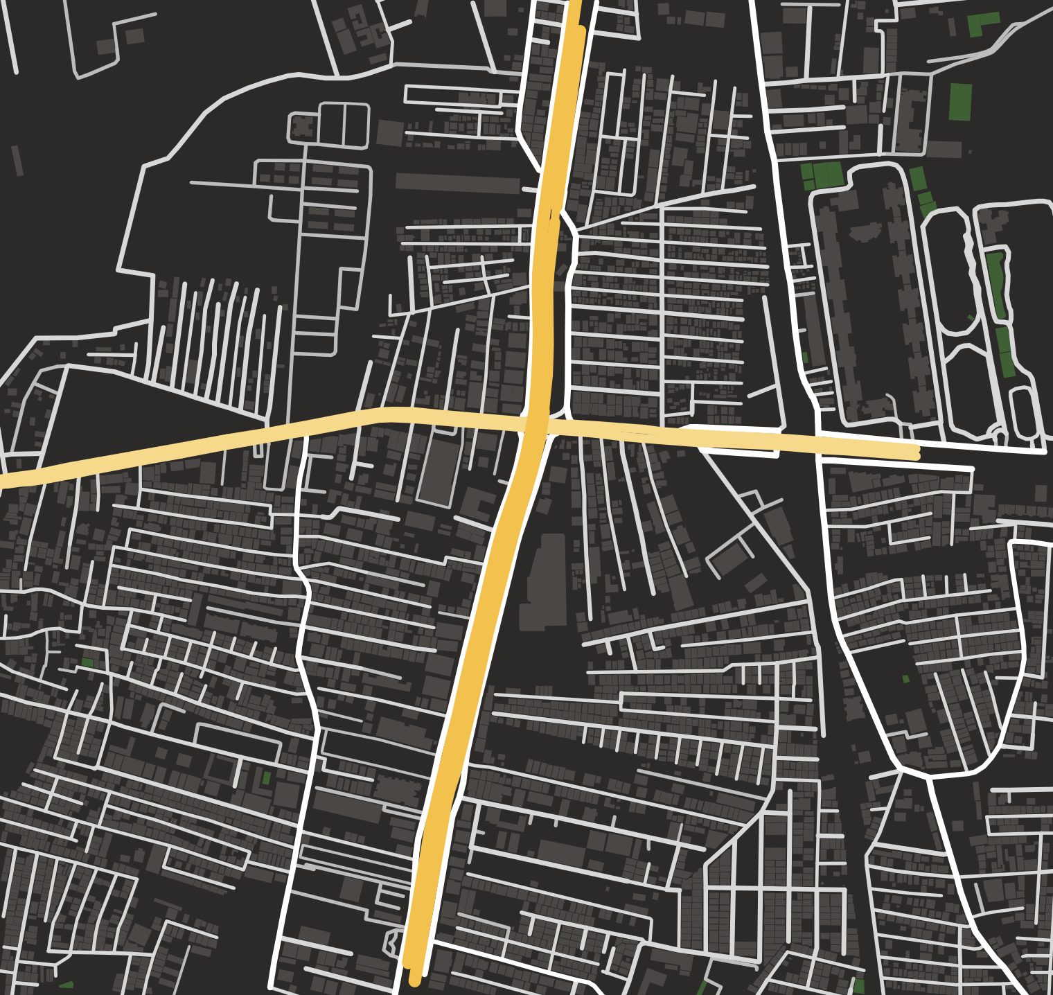
The first area of Bengaluru in the game: about 1.5 km by 1.4 km around the Marathahalli bridge, built from the real street map.
Roads you will know
- Outer Ring Road
- The widest road on the map, running north to south through the middle. Fast when it is empty, which is never.
- Varthur Road
- East to west across the bridge, lined with shops. Mission 1 ends here.
- Marathahalli bridge
- Where Outer Ring Road meets Varthur Road. Mission 2 starts with a kitchen next to it.
- Munekolala Main Road
- The Haptags Dash store sits near here, on the east side.
- Railway Station Road
- Up at the north edge, leading to Marathahalli station. Mission 3 ends here.
- Gandhi Nagar, Tulsi Theatre Road and the Cross Roads
- The residential lanes where Meera's PG is, and where most deliveries go.
How the map was made
The roads, their names and about 4,000 building footprints come from OpenStreetMap. Building heights are estimated where the map has none. Road widths are fitted to the gaps between buildings, and a few small structures that stood in a lane were left out so every road is drivable. Roads are flat, so flyovers and underpasses meet at ground level. Every shop sign uses a made-up name.
Coming later
More of Bengaluru, one area at a time. No dates promised. Vote for the next area.